7 RANDALL ST
Owner Information
COLLIER, JONATHAN & ANN
7 RANDALL STREET
WALTHAM, MA 02453-3857


Property Details
7 RANDALL ST is classified as a Single Family Residential (Colonial).
The primary structure on this property was built in 1915. There are 2,441ft2 of built area within this property. There is 2,441ft2 of residential/living space within this property. This property is listed as having 7 rooms.
7 RANDALL ST is valued at $666,000. The land is valued at $297,400 and the structures are valued at $364,600. There is an additional valuation of $4,000 on this property.
The most recent deed for 7 RANDALL ST is recorded at the local registrar in Book 71905, Page 319. 7 RANDALL ST was last sold on Monday, November 19, 2018 for $625,000.
Assessment data from fiscal year 2022.
Flood Data
According to the FEMA National Flood Hazard Layer, this property does not appear to be in a flood zone. It may also be in an area not yet reviewed. Nonetheless, confirm this information prior to taking any action.
To view the flood hazards around this property, create a FEMA "Firmette" Map of the area around 7 RANDALL ST.
Broadband Internet Providers
| Provider | Type | Bandwidth (mbps) | |
|---|---|---|---|
| HughesNet | Satellite | 25 | 3 |
| Verizon New England Inc. | Fiber | 940 | 880 |
| Comcast | Cable | 1000 | 35 |
| VSAT Systems, LLC. | Satellite | 2 | 1 |
| GCI Communication Corp. | Satellite | 0 | 0 |
| Viasat Inc | Satellite | 100 | 3 |
| Verizon New England Inc. | DSL | 3 | 0 |
| RCN | Cable | 1000 | 20 |
| RCN | Cable | 500 | 20 |
Broadband service provider data from December 2020.
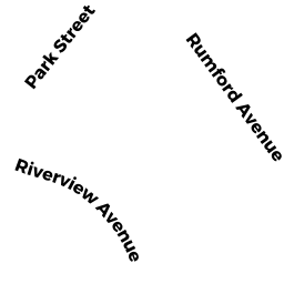
Adjacent Properties
- 138 RIVERVIEW AVE
Single Family Residential owned by ADAMS, BARBARA J. ALE; - 138 -40 WOERD AVE
Two-Family Residential owned by LAMONT, ANNE D. - 1 -3 RANDALL ST
Apartments with Four to Eight Units owned by THREE L PROPERTY HOLDINGS - 11 RANDALL ST
Three-Family Residential owned by SHAIKH, JAVED I. & AMRIN J. - 39 -02 PARK ST
Residential Condominium owned by LACAVA, PETER J, - 41 -01 PARK ST
Residential Condominium owned by SIMONS, DONNA L. - 41 -02 PARK ST
Residential Condominium owned by VISNAW, KAREN - 39 -01 PARK ST
Residential Condominium owned by DANOVITCH, LISA B.